
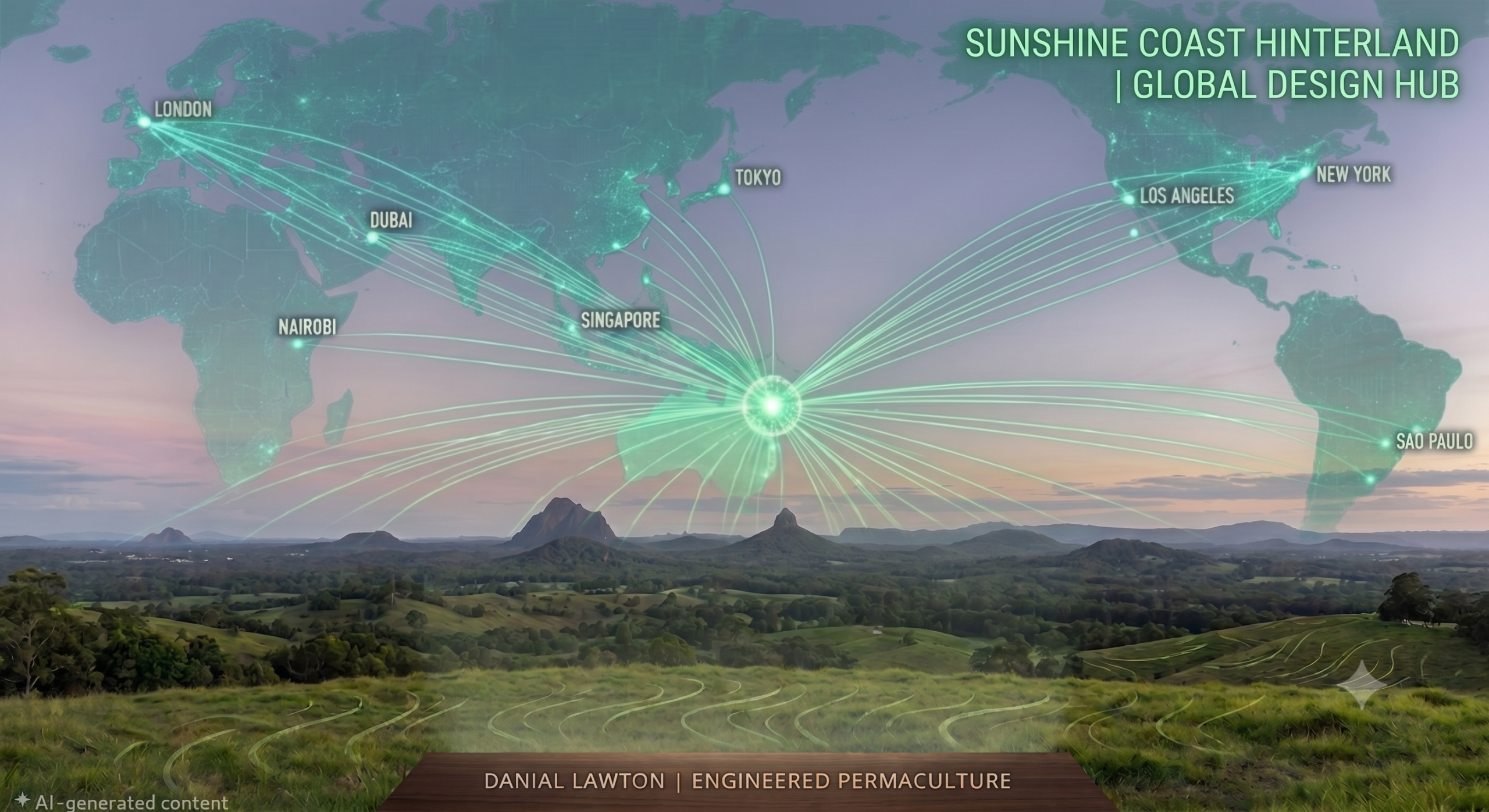
Yes. By combining high-resolution elevation data, satellite LiDAR, local climate records, and client-provided footage or drone mapping, we build precise engineering masterplans remotely for properties anywhere in the world.
Can a permaculture design be created remotely without a site visit?
Share This Story, Choose Your Platform!
About the Author: Danial Lawton




Leave A Comment