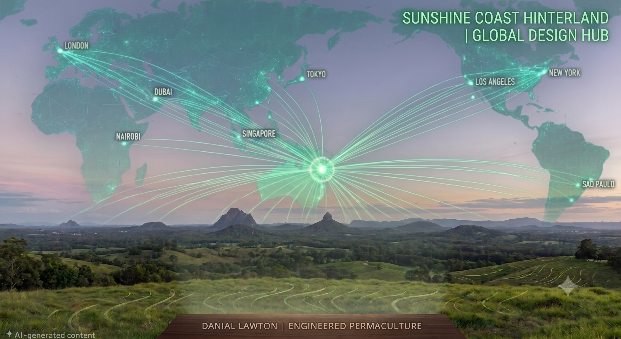
Don’t just dig a hole. Engineer a legacy.
In Australia, ‘once-in-a-lifetime’ floods are now decade-level events. Most permaculture designs focus on where to put the trees; I focus on how to keep the ground beneath them.
From our Brisbane studio, we design for the extremes—wherever your land may be.

Permaculture Design Services & Masterplanning
Civil-Grade Permaculture Design Backed by Environmental Engineering
Transform your property into a self-sustaining, flood-resilient ecosystem. Our permaculture design services combine high-resolution GIS topographical mapping, passive hydrological calculations, and functional zone planning to build productive landscapes that last generations.
Engineering Precision Meets Ecological Design
Whether you are retrofitting a suburban backyard or developing a 100+ acre broadacre farm, successful property development starts with exact site data. Unplanned earthworks or misplaced infrastructure lead to costly erosion, flooded foundations, and wasted budget.
Our masterplanning process bridges academic environmental engineering with practical land management. By analyzing your site’s 3D topography, microclimates, and water catchments, we provide civil-grade blueprints tailored to your property scale.
Choose Your Design Tier
-
Urban & Suburban Design (< 1 Acre): High-density, space-efficient plans maximizing microclimates, rainwater capture, raised beds, food forests, and passive solar energy for small residential footprints.
-
Acreage Masterplan (1 to 20 Acres): The flagship tier for homesteads and hobby farms. Integrates swale systems, dam positioning, access roads, rotational paddocks, and fire protection buffers.
-
Broadacre Strategy (20 to 100 Acres): Agricultural-scale hydrology and Keyline design focusing on large water harvesting networks, broadacre earthworks, soil remediation, and livestock grazing corridors.
-
Custom Broadacre (100+ Acres & Commercial): Fully tailored civil engineering and agricultural masterplanning for large rural holdings, eco-resorts, and commercial regenerative projects.
Book Now
Choose Your Property Scale:
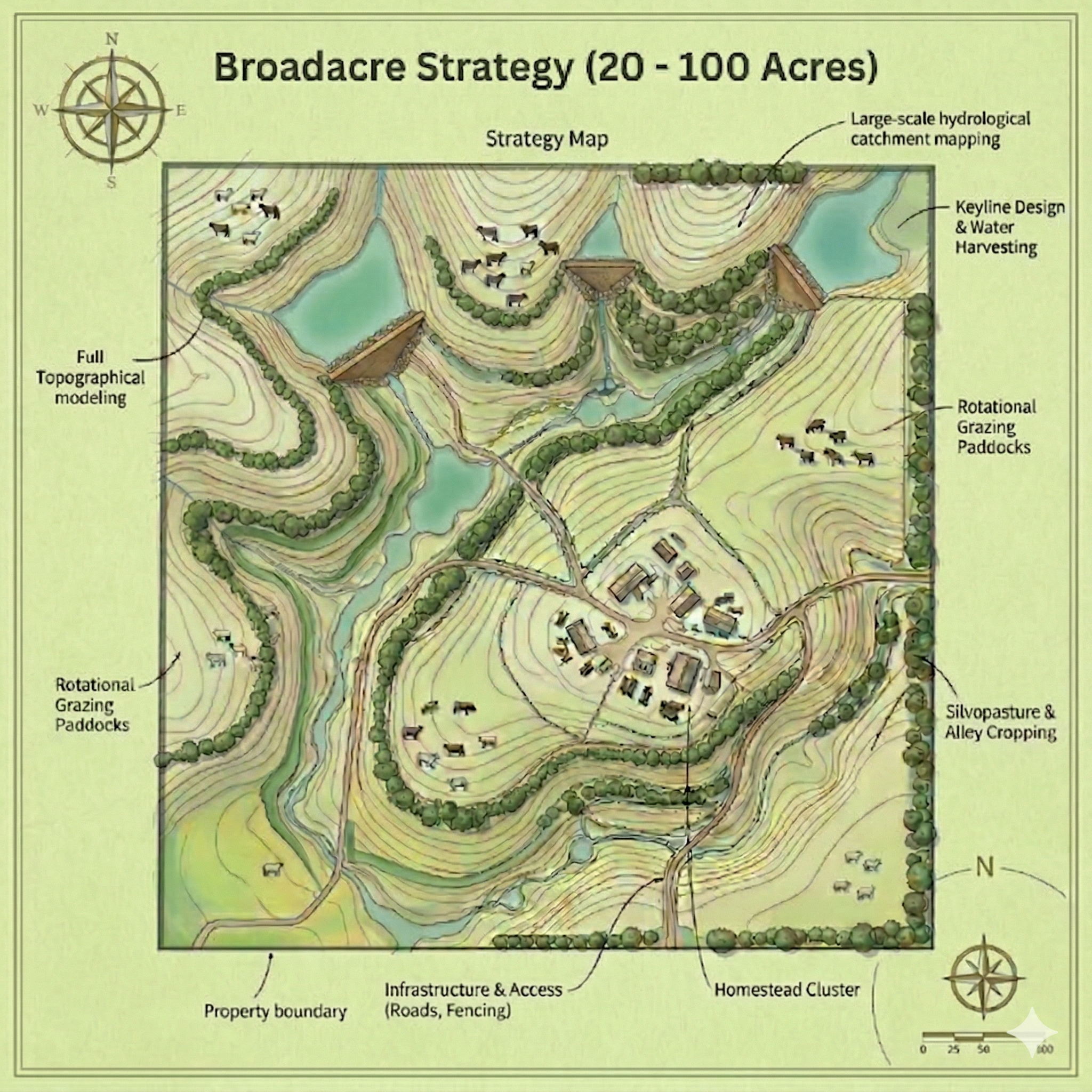
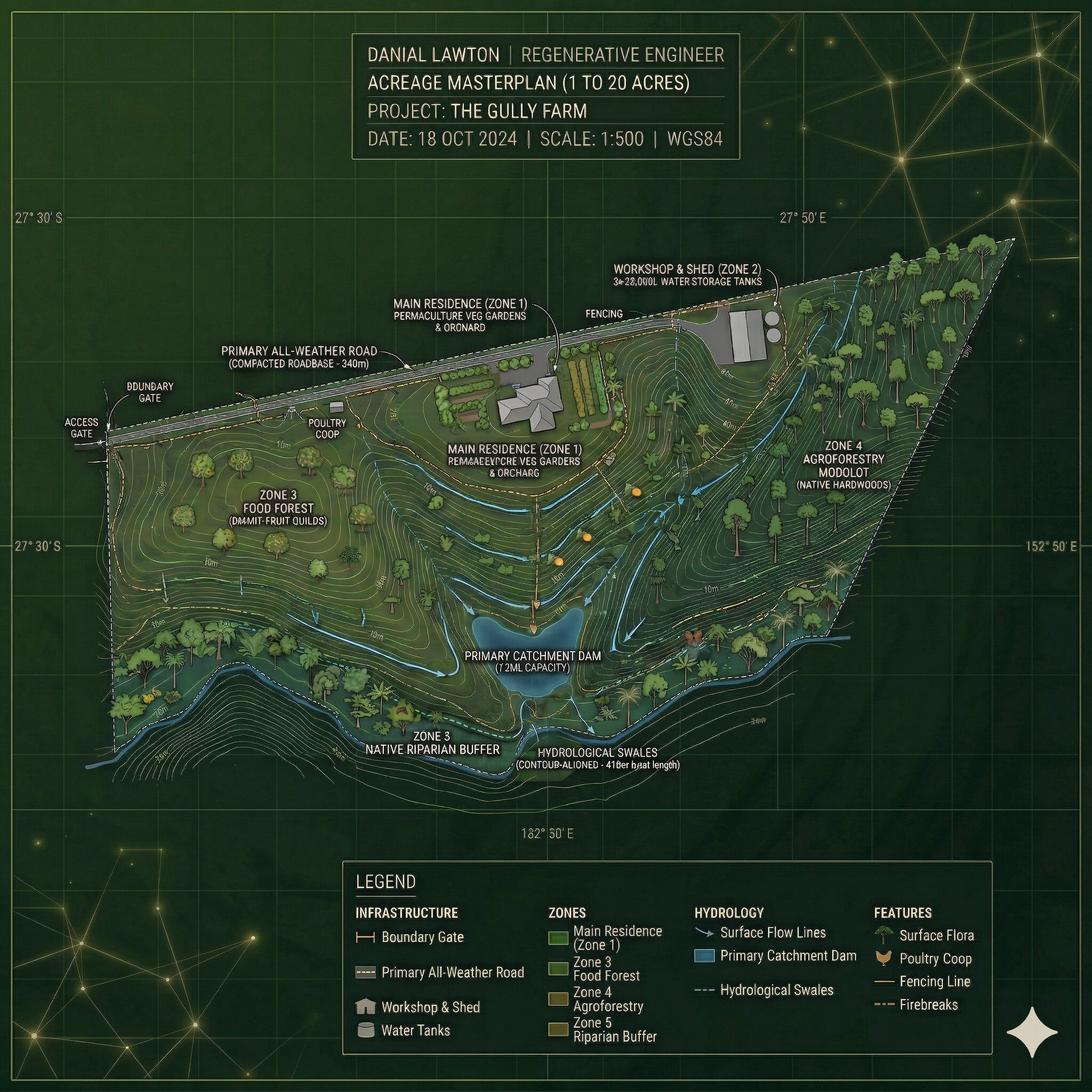
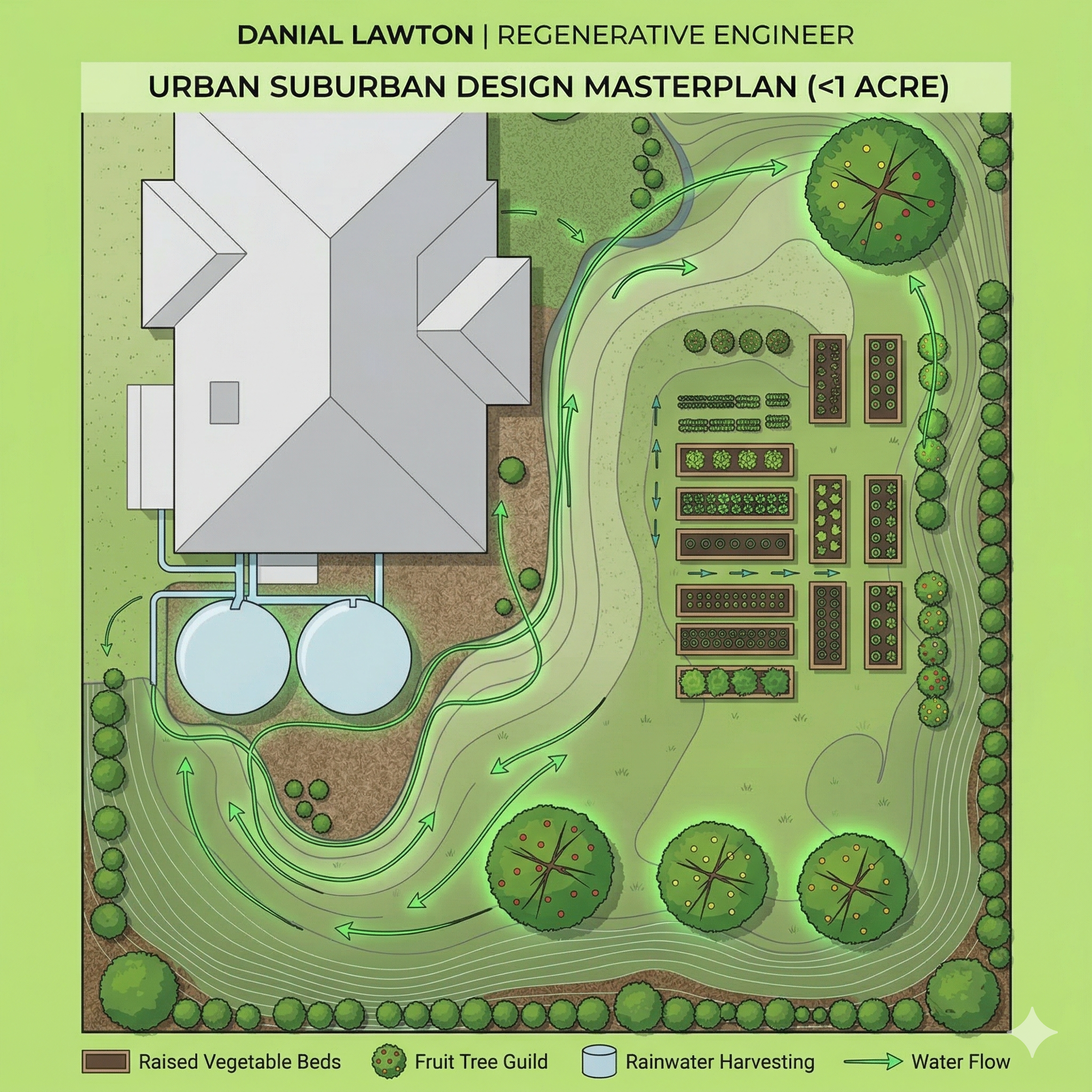

Conceptual designs focus on high-level zones and system placement without exact technical specifications. An engineering masterplan provides precise contour measurements, calculated catchment capacities, structural spillway placements, and scaled site layouts so earthmovers and contractors can build directly from the plan without guesswork.
Yes. By combining high-resolution elevation data, satellite LiDAR, local climate records, and client-provided footage or drone mapping, we build precise engineering masterplans remotely for properties anywhere in the world.
Standard rural and broadacre masterplans typically take between 3 to 6 weeks from the initial strategy session to final plan delivery. The exact timeline depends on site scale, topographic complexity, and the depth of GIS data required.
A full broadacre masterplan includes GIS-derived contour mapping, sector analysis (wind, fire, microclimates, solar aspect), detailed water-harvesting layout (dams, swales, access roads), plant species selection lists, catchment volume calculations, and a phased, step-by-step implementation roadmap.