The 1-Hour Remote Strategy & Topography Call

$150.00 /1 hour +GST
The 1-Hour Remote Strategy & Topography Call
Fast, Expert Remote Strategy & Topography Assessment
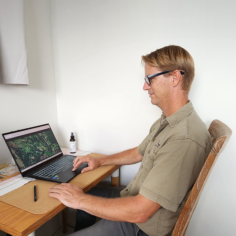
Have urgent questions about a prospective land purchase, building pad location, or water drainage issue? Book a Remote Permaculture Strategy session. Get direct, screen-share access to a Master Environmental Engineer to analyze high-resolution satellite imagery, GIS contour data, and catchment hydrology in real time.
High-Level Engineering Advice from Anywhere
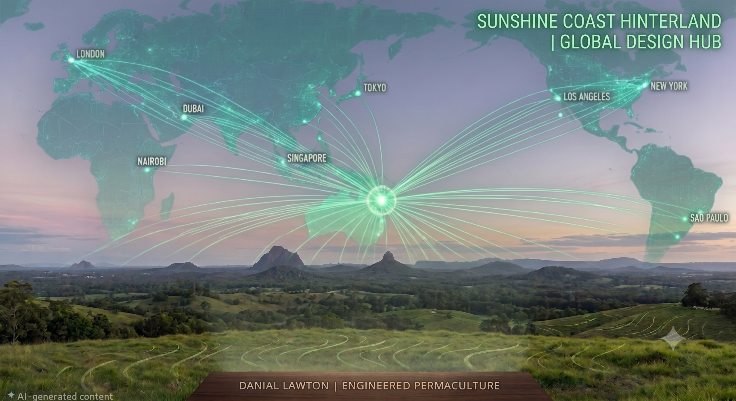
You don’t need to wait weeks for an on-site visit to gain complete scientific clarity on a property. By analyzing high-resolution 3D topographical models, satellite elevation layers, and catchment runoff physics on screen, we can evaluate your landscape remotely from anywhere in the world.
Whether you are evaluating a real estate listing before signing a contract, troubleshooting an active erosion problem, or validating your DIY site plan, this focused 60-minute session gives you immediate, civil-grade answers.
What We Cover in 60 Minutes
-
Desktop GIS & Topography Analysis: Real-time screen-share analysis of site elevation, slope percentages, contour curves, and macro-catchment water flow feeding your land.
-
Pre-Purchase Land Evaluation: Independent engineering assessment on prospective real estate listings to identify hidden flood risks, unviable building sites, landslip hazards, or road access challenges before you commit.
-
Targeted Problem Solving: Direct, actionable advice on dam placement, swale feasibility, keyline suitability, or greywater/blackwater routing.
-
Session Recording Delivered: Receive a full video recording of our screen-share session along with screen captures of your marked-up GIS maps for future reference.
Product Description
Quick, High-Level Engineering Advice
You don’t always need a full-scale masterplan to get unstuck. Sometimes, you just need an hour with an expert to look over your shoulder, review your maps, and tell you exactly what to do next.
The 1-Hour Remote Strategy & Topography Call is the fastest way to get your permaculture and earthworks questions answered by a Master of Environmental Engineering. Whether you are looking at a real estate listing, trying to figure out where to put a dam, or reviewing a design you drew yourself, this session gives you immediate clarity and direction.
What Can We Achieve in One Hour? Because we do this remotely via screen-share, we can instantly pull up topography, satellite imagery, and catchment data for your property. Common uses for this hour include:
-
Pre-Purchase Real Estate Review: Send me the address of a property you want to buy. I will pull the topography on my screen and tell you if it actually has the water-harvesting potential and safe build sites you are hoping for.
-
DIY Design Critique: Have you sketched out your own permaculture design? Let’s review it together. I will point out any hydrological flaws or infrastructure placement errors before you start digging.
-
Specific Troubleshooting: Got a leaking dam, a flooded access road, or a struggling food forest? Show me the photos, and we will diagnose the issue and engineer a solution on the spot.
-
Phase 1 Planning: If you just bought land and are completely overwhelmed, we will use this hour to build a prioritized, step-by-step list of exactly what you need to do in your first 12 months.
How the 1-Hour Call Works:
-
Book Your Session: Add this to your cart and complete the secure checkout.
-
Submit Your Details: Fill out the Premium Remote Design Discovery form so I can review your site beforehand.
-
The Live Session: We will jump on a video call, share screens, review your topography together, and solve your bottlenecks.
Fast Answers, Zero Guesswork: One hour of professional engineering advice can save you months of frustration and thousands in costly mistakes. Book your call today and get unstuck.
No special software is needed. You only need a stable internet connection and a computer or tablet capable of joining a standard video call (Zoom or Google Meet) to view our screen share.
Yes. It is one of our most popular services for prospective buyers looking to uncover hidden flood hazards, landslip risks, soil issues, or access road challenges before making an offer on a listing.
You submit your property address, lot plan, or real estate listing link beforehand. During the video call, we share screens to review live GIS contour maps, elevation profiles, and catchment runoff models together.
After booking, simply click the button in the description above to fill out the Discovery Form. Provide your property address, a brief outline of your goals, and any photos or drone footage you have so I can prepare your topography data before we meet.