Acreage Masterplan (1 to 20 Acres)

Price range: $3,500.00 through $6,100.00 +GST
The complete regenerative blueprint for your rural lifestyle block.
Engineered specifically for your climate to ensure drought-proofing and flood resilience. This package provides the digital twin of your land’s potential, ensuring every hour of machinery time is a long-term investment ans not a gamble.
Product Description
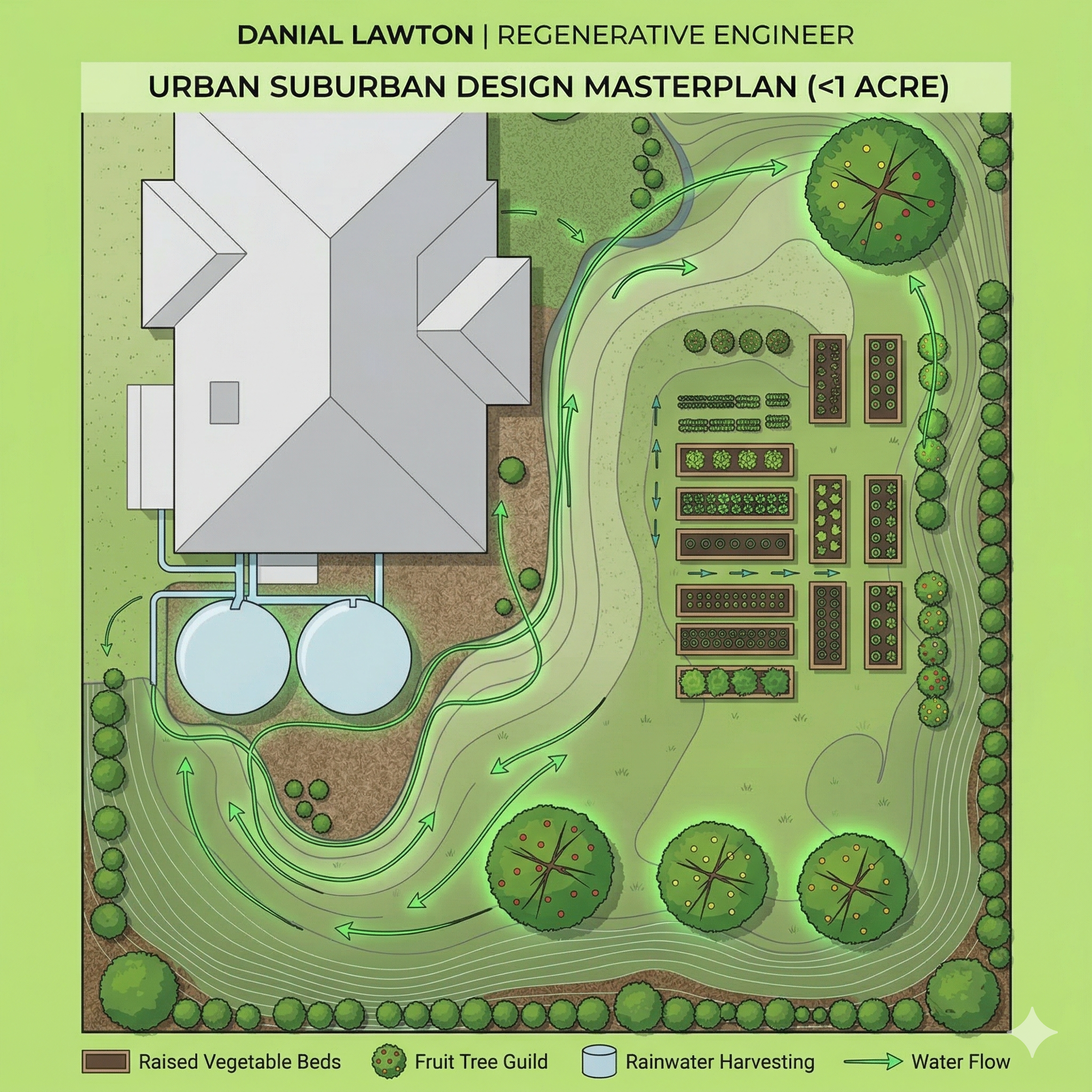
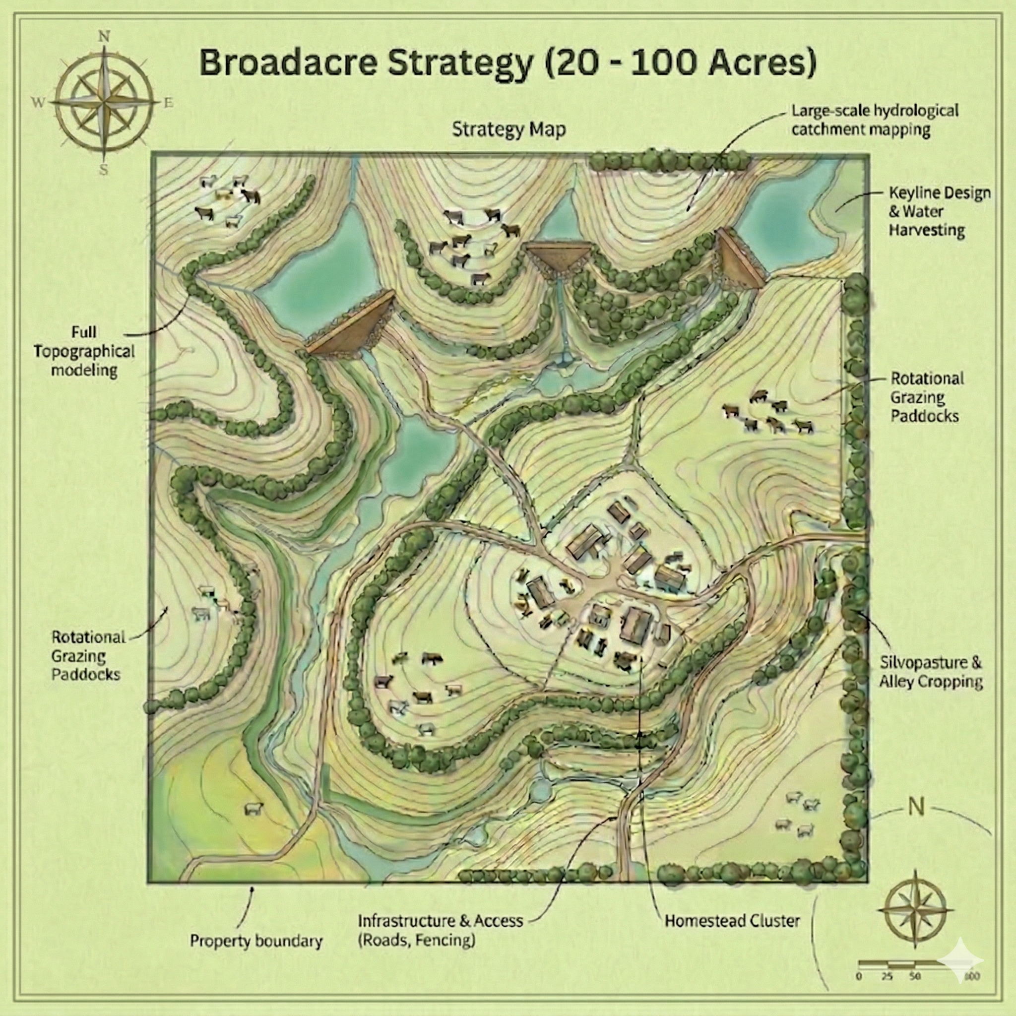
The “Resilient Homestead” Blueprint
At the 1 to 20-acre scale, you have the space to achieve true self-reliance—but you also have enough space to make very expensive mistakes.
Whether you are establishing a new hobby farm or retrofitting an existing property, guesswork with heavy machinery or water placement can cost you thousands. This Acreage Permaculture Masterplan provides you with a civil-grade, engineered blueprint. As a Master of Environmental Engineering, I map the exact physics of your landscape to ensure your home, food systems, and water infrastructure are integrated flawlessly with your land’s natural contours.
When placing this order please also complete this form:
What’s Included in the Masterplan?
-
Precision Hydrology & Water Security: Water is the foundation of any successful acreage. We map your catchments to design reliable, off-grid water systems. This includes the strategic, engineered placement of dams, rainwater harvesting, and swales to passively hydrate your soil and protect your property against both drought and flooding.
-
Homestead Layout & Infrastructure: We utilize intelligent permaculture zoning to place your high-cost infrastructure—like house sites, sheds, access roads, and animal shelters—in the safest, most energy-efficient, and easily accessible locations.
-
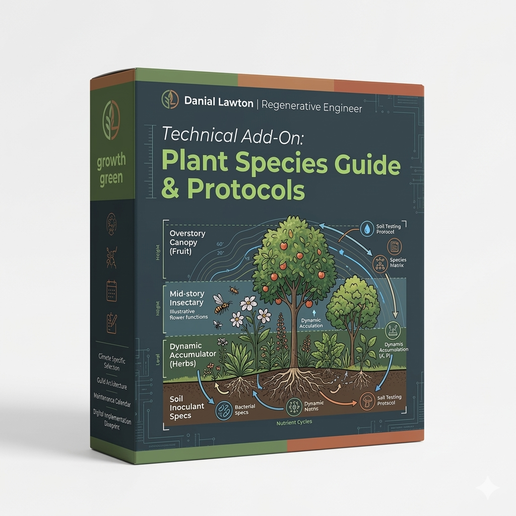
Food Forests & Planting Systems: We design custom, multi-layered food forests, productive orchards, and kitchen gardens. We select the right locations for your climate and soil to maximize your harvest while minimizing your daily maintenance.
-
Small-Scale Livestock Integration: If your goal includes animals, we map out integrated fencing and rotational grazing paddocks perfectly scaled for a few cows, sheep, or pastured poultry.
The Primary Deliverables:
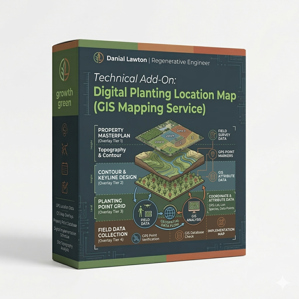
You will receive a High-Resolution GIS Masterplan including:
-
The Core Blueprint: A beautifully detailed visual guide mapping your entire property’s optimized layout.
-
Water & Earthworks Overlay: The exact locations for your water infrastructure, swales, and dams.
-
Phased Implementation Strategy: A step-by-step roadmap detailing exactly what to build and plant first to see the fastest return on your investment without becoming overwhelmed.
The Engineering Advantage: Don’t leave your homestead to chance. By utilizing advanced topographical data and remote GIS analysis, we provide a level of precision that traditional landscape design simply cannot match. We see the “invisible” layers of your land.