Acreage Masterplan (1 to 20 Acres)
Price range: $3,500.00 through $6,100.00 +GST
Master Your Acreage Ecosystem with a Acreage Masterplan
Designed specifically for mid-sized rural properties from 1 to 20 acres, this Acreage Masterplan turns your land into a resilient, self-sustaining ecosystem. We integrate GIS topographical mapping, passive water harvesting, and functional zone planning to optimize your block for production, privacy, and long-term security.
Product Description
Transform Your Acreage with Environmental Engineering Acreage Masterplan
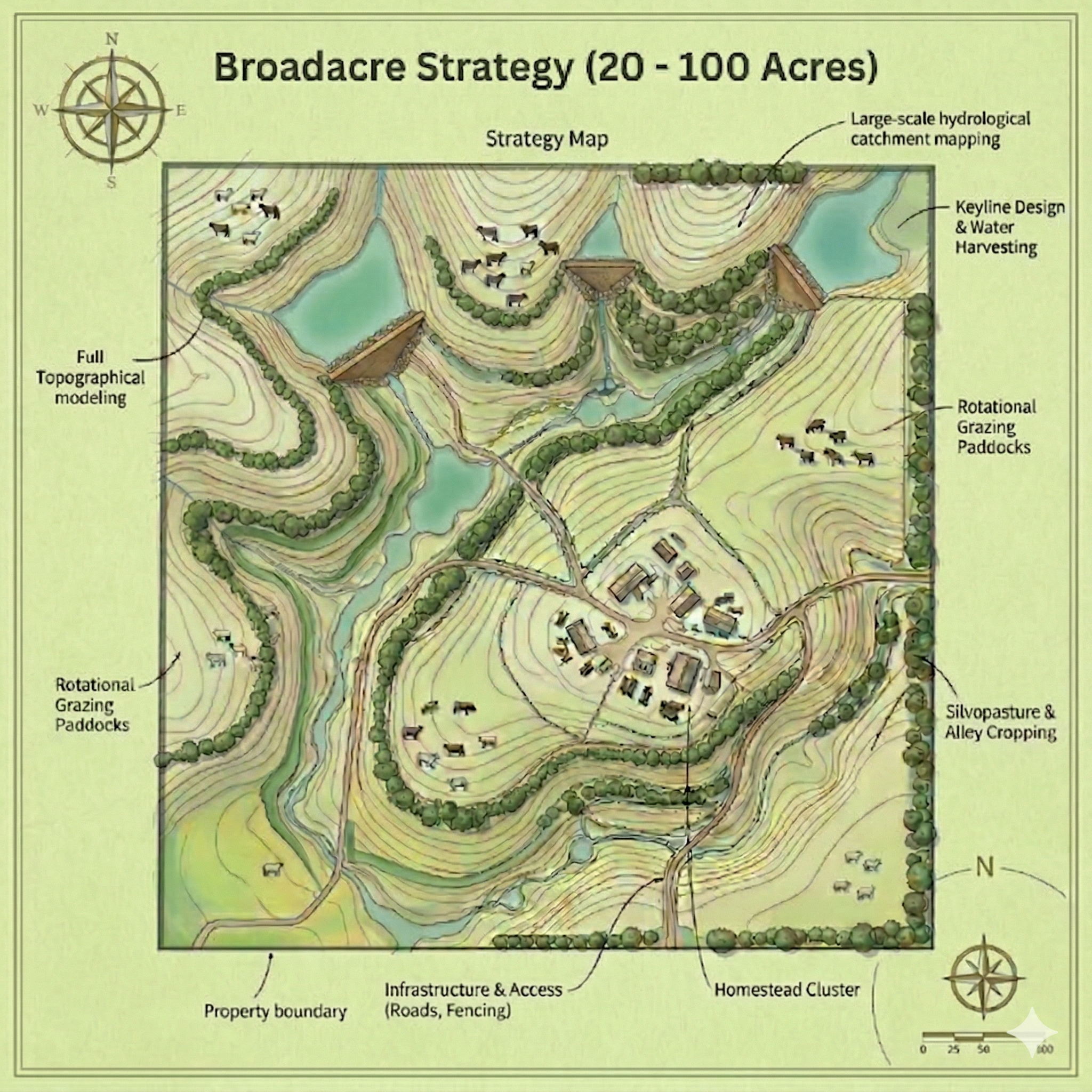
Managing 1 to 20 acres requires exact planning. Standard suburban landscape designs are too small, while broadacre farming strategies lack the fine detail needed for homestead zones, boutique orchards, privacy screens, and internal access roads.
Our Acreage Masterplan bridges this gap. By analyzing your site’s exact contours, soil dynamics, and natural catchments, we engineer a blueprint that prevents soil erosion, maximizes rainwater capture, and places key infrastructure where it performs best.
What’s Included in the Acreage Masterplan?
-
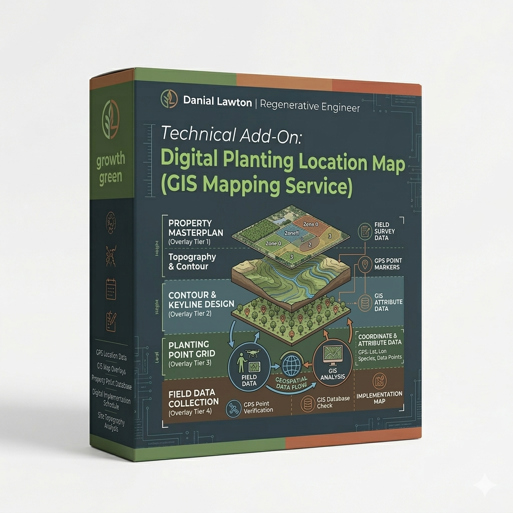
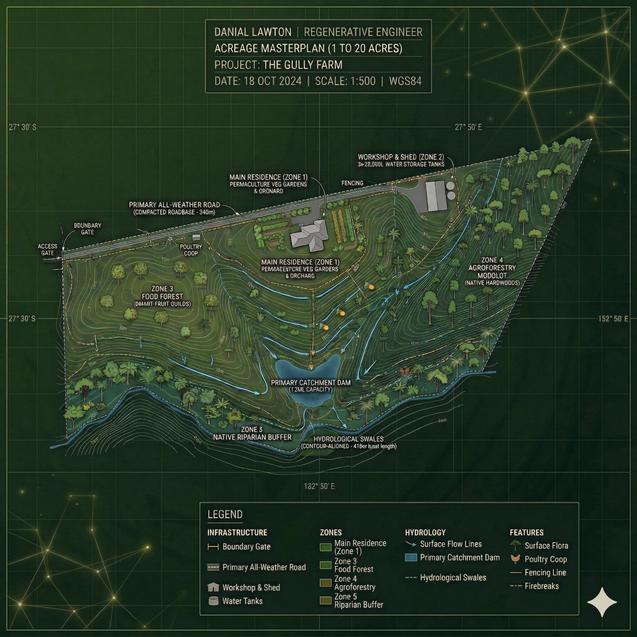
GIS Topographical Modeling & Contour Analysis: High-resolution elevation mapping to identify slopes, microclimates, and optimal build sites for homes, sheds, and roadways.
-
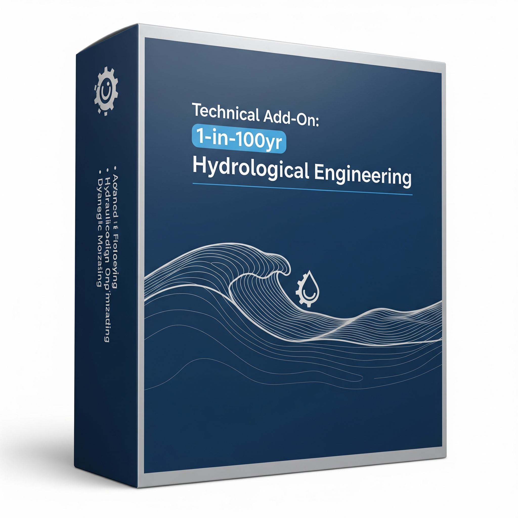
Acreage Water Harvesting & Hydrology Design: Passive water management strategies including laser-level swale layouts, dam placements, keyline plowing corridors, and spillway paths.
-
Functional Zone & Infrastructure Layout: Strategic placement of internal access roads, rotational grazing paddocks, fruit orchards, shelterbelts, and fire protection buffers.
-
Regenerative Production Systems: Tailored layouts for high-yield food forests, raised garden beds, poultry systems, and native wildlife corridors.
Primary Deliverables
-
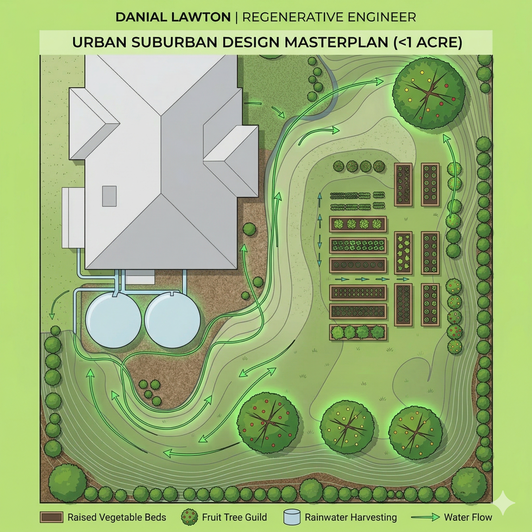
The Acreage Master Blueprint: High-resolution digital site map showing exact locations for all infrastructure, planting zones, and earthworks.
-
Water & Hydrology Overlay: Clear strategy detailing rainwater catchment, swale curves, dam positioning, and runoff routing.
-
Phased Implementation Roadmap: A practical, step-by-step development roadmap so you can execute your build over time without costly mistakes.
The Engineering Advantage: Don’t leave your homestead to chance. By utilizing advanced topographical data and remote GIS analysis, we provide a level of precision that traditional landscape design simply cannot match. We see the “invisible” layers of your land.
Yes. We offer remote GIS masterplanning using satellite elevation data globally, or on-site consultation options for properties in South East Queensland.
Yes. Upon placing your order, complete the Premium Remote Design Discovery form so we have your site coordinates and property goals to begin modeling.
You receive a high-resolution GIS property blueprint, hydrological overlay (swales, dams, drainage), zone infrastructure plan, and a phased implementation roadmap.
This package is specifically tailored for rural residential blocks, homesteads, and small farms between 1 and 20 acres.