The 1-Hour Remote Strategy & Topography Call
Fast, Expert Remote Strategy & Topography Assessment
Have urgent questions about a prospective land purchase, building pad location, or water drainage issue? Book a Remote Permaculture Strategy session. Get direct, screen-share access to a Master Environmental Engineer to analyze high-resolution satellite imagery, GIS contour data, and catchment hydrology in real time.
High-Level Engineering Advice from Anywhere
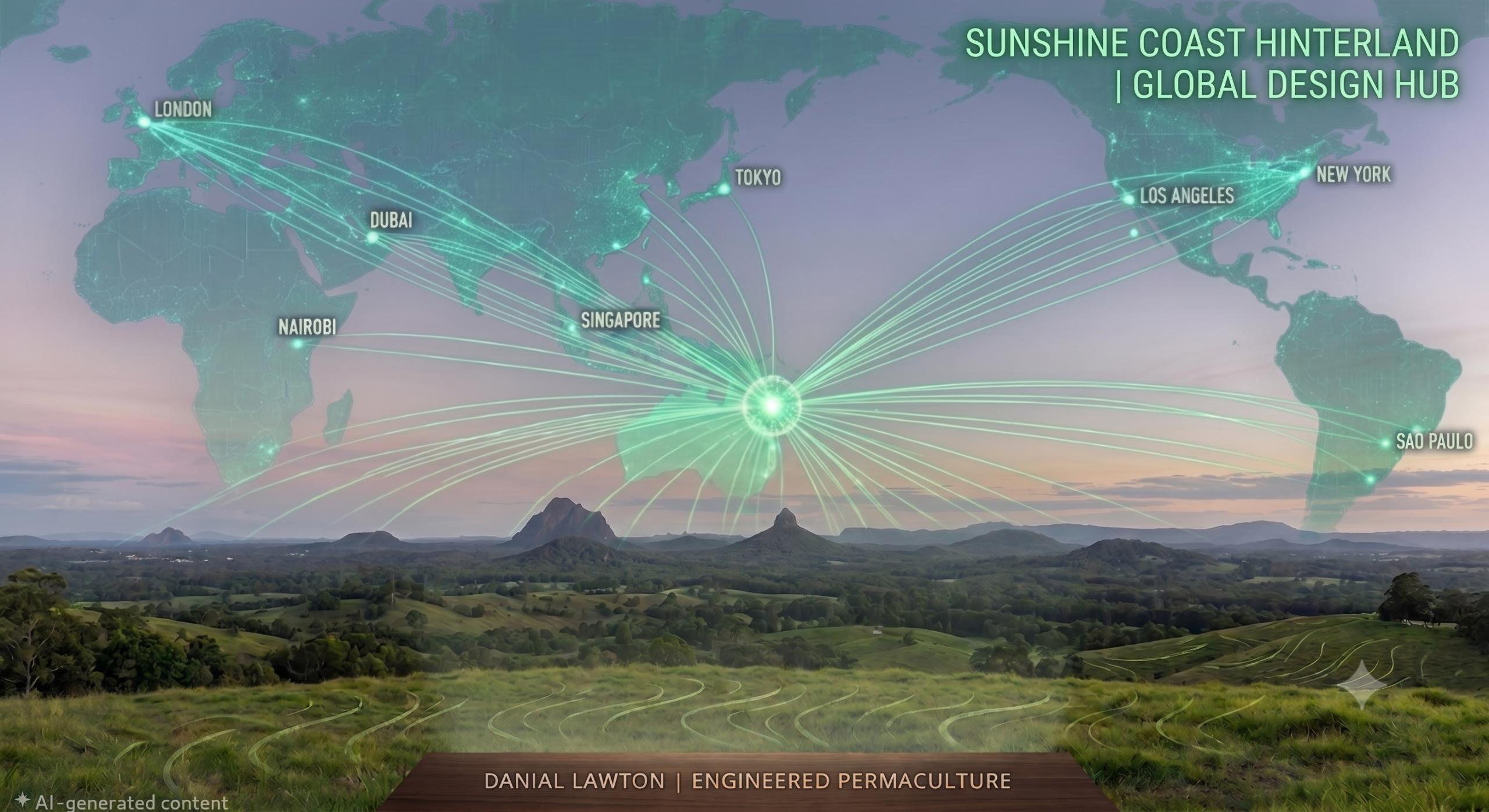
You don't need to wait weeks for an on-site visit to gain complete scientific clarity on a property. By analyzing high-resolution 3D topographical models, satellite elevation layers, and catchment runoff physics on screen, we can evaluate your landscape remotely from anywhere in the world.
Whether you are evaluating a real estate listing before signing a contract, troubleshooting an active erosion problem, or validating your DIY site plan, this focused 60-minute session gives you immediate, civil-grade answers.
What We Cover in 60 Minutes
-
Desktop GIS & Topography Analysis: Real-time screen-share analysis of site elevation, slope percentages, contour curves, and macro-catchment water flow feeding your land.
-
Pre-Purchase Land Evaluation: Independent engineering assessment on prospective real estate listings to identify hidden flood risks, unviable building sites, landslip hazards, or road access challenges before you commit.
-
Targeted Problem Solving: Direct, actionable advice on dam placement, swale feasibility, keyline suitability, or greywater/blackwater routing.
-
Session Recording Delivered: Receive a full video recording of our screen-share session along with screen captures of your marked-up GIS maps for future reference.